BuildWorkz
Professional Land Surveying Services for Accurate Planning & Building
Get the accurate data you need to build with confidence.
Our licensed land surveyors deliver precise boundary surveys, detailed topographic maps, thorough biological assessments, and reliable soil studies — everything you need to design smarter, meet local requirements, and protect your investment from the ground up.
Know Your Land. Build with Confidence.
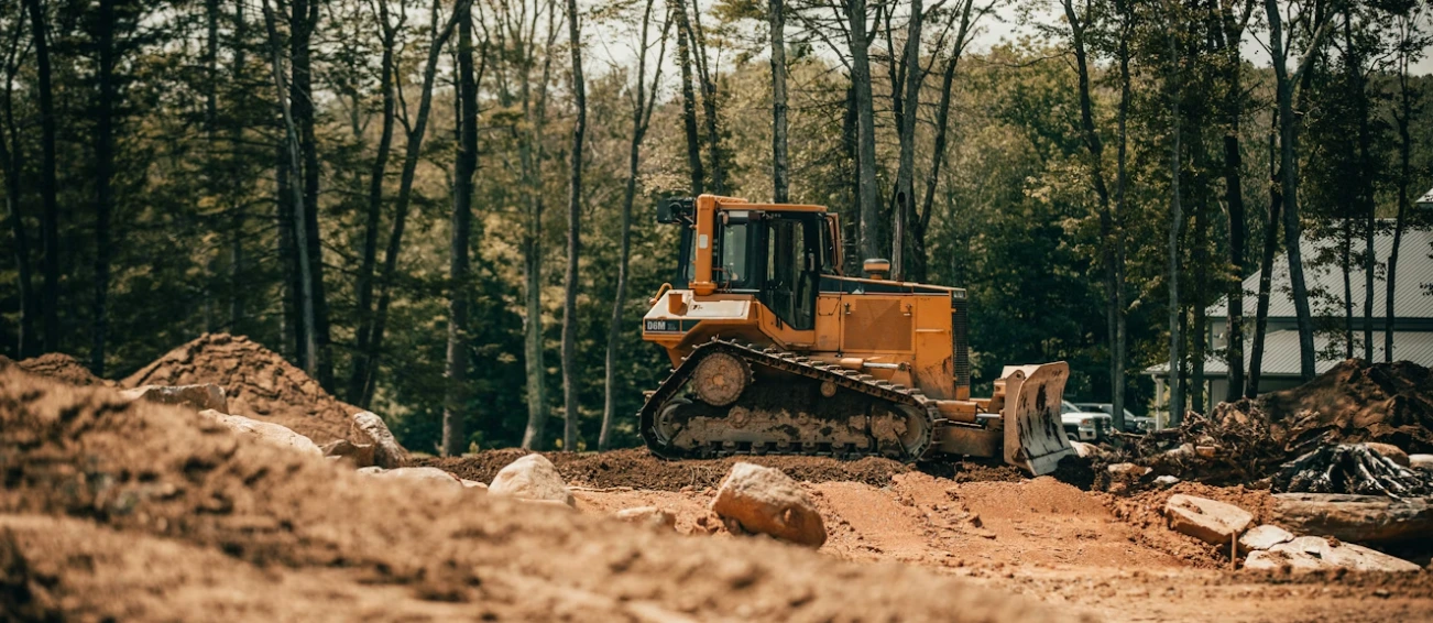
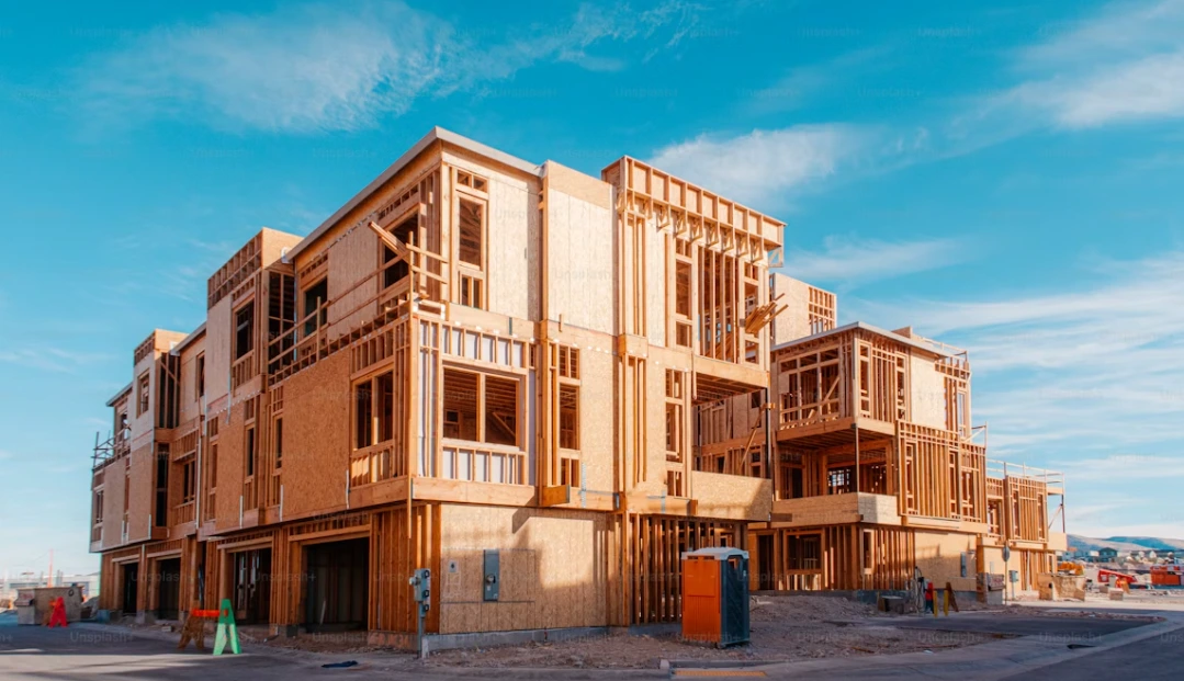
Before you break ground on any project, you need to know exactly what you’re working with. BuildWorkz offers comprehensive land surveying services, providing clear, precise information about your property’s boundaries, topography, soils, and biological conditions.
Whether you’re planning a custom home, a remodel, or a large development, our surveys lay the groundwork for smart design, hassle-free permitting, and construction done right the first time.
Our Land Surveying Services
Boundary Surveys
Clearly define your property lines to avoid disputes with neighbors and ensure your design stays within legal limits. Our licensed surveyors mark exact lot lines and prepare certified plats ready for permits or title companies.
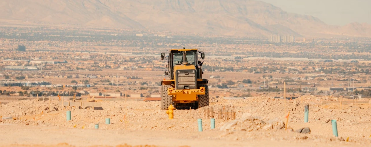
Topographic Surveys
Understand your land’s elevations, slopes, and natural features. Topographic surveys help architects and engineers design grading, drainage, and foundations that work with the land — not against it.
Biological (Bio) Surveys
Meet environmental regulations and protect sensitive areas. Our biological assessments identify wetlands, protected species, or habitats that could affect your build. We help you comply with local, state, and federal requirements.
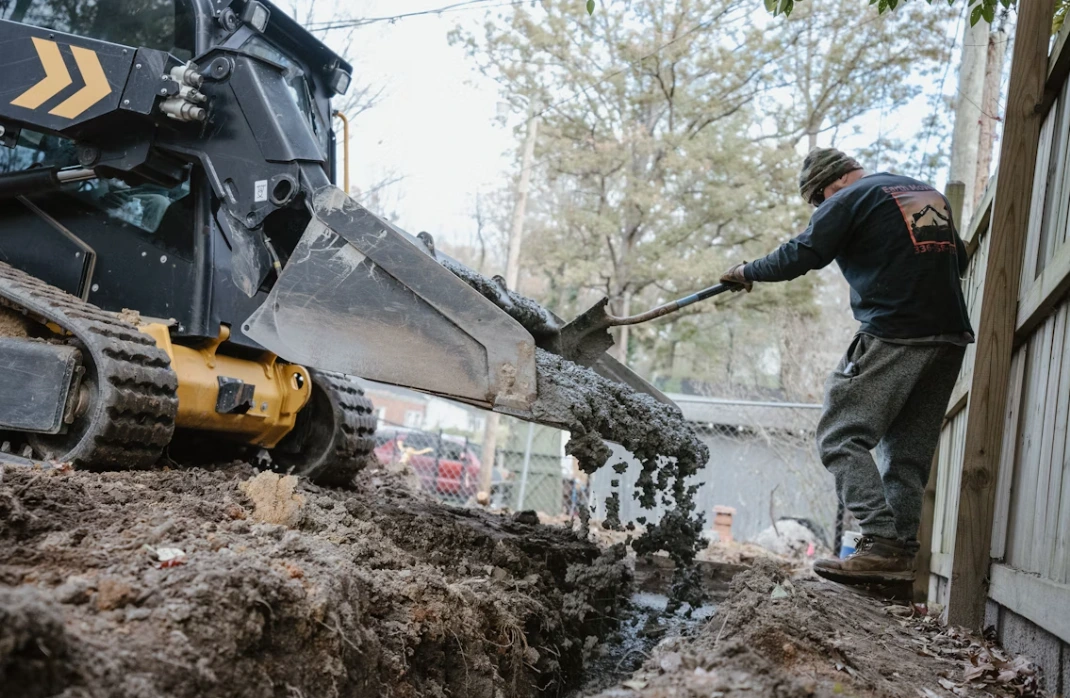
Soil Studies
A solid foundation starts with understanding what’s below. Our soils reports provide data on soil type, stability, and compaction — critical for designing safe foundations, drainage, and retaining structures.
Why Accurate Surveys Matter
Avoid Costly Legal Issues
Clear boundaries help prevent encroachment and costly disputes with neighbors or HOAs.
Design Smarter
Knowing your site’s topography, soil, and biological conditions keeps your design feasible and code-compliant.
Speed Up Permitting
Most cities require certified surveys for new builds, additions, or lot splits.
Protect Your Investment
Unexpected soil or environmental issues can stall construction. Upfront knowledge keeps your project on track.
Our Land Survey Process
- Consultation
We review your goals, plans, and any past survey documents. - On-Site Fieldwork
Our licensed surveyors visit your site with professional-grade equipment to take precise measurements and samples. - Data Analysis & Reporting
We compile your survey data into clear, easy-to-read plats, maps, or reports. - Delivery & Support
You receive certified survey documents ready for permits, design, or construction.
FAQs
Why do I need a boundary survey?
Why do I need a boundary survey?
What is a topographic survey used for?
A topographic survey maps your land’s contours, elevations, and features. Architects, engineers, and builders use this data to design grading, drainage, and foundations that fit your site’s unique conditions.
Do I need a biological survey for my project?
Do I need a biological survey for my project?
What is included in a soil study?
What is included in a soil study?
Do you help with permits that require surveys and reports?
Yes! We don’t just deliver the survey — we help you prepare all required documents for city, county, or state permits. We also coordinate with architects, engineers, or environmental consultants to make sure your project stays compliant and moves forward smoothly.